SAT to IAD Turbulence Forecast
Is the San Antonio to Washington flight turbulent? Live forecast & historical patterns.


Typical turbulence along the route
Historical average pattern for SAT–IAD
About the SAT–IAD route
The San Antonio to Washington domestic route is generally one of the smoother flights in the US network, covering 1,360 miles at around 35,000 feet. Turbulence is most common when weather systems cross the Midwest or when the flight path skirts the Rocky Mountains. Short duration means any rough patches pass quickly.
The route is served by United Airlines, Southwest Airlines on Boeing 737 · Airbus A321 · Boeing 757 aircraft, with flights typically cruising at 35,000 feet over a distance of 1,360 miles (1,182 nautical miles).
💡 Tip: Domestic routes are generally smoother. Mountain crossings are the main turbulence source.
San Antonio to Washington Flight Time
How long is the flight from SAT to IAD?
The San Antonio (SAT) to Washington (IAD) flight takes approximately 3h 5m, covering 1,360 miles (1,182 nautical miles) at 35,000 feet. The route is operated by United Airlines, Southwest Airlines. Actual flight time may vary by 10–20 minutes depending on wind conditions and routing.
Turbulence levels on SAT–IAD
What to expect at each phase of the flight
Get minute-by-minute timing for your specific flight
Best time to fly SAT–IAD
Turbulence by month
Best seat on SAT–IAD
Boeing 737
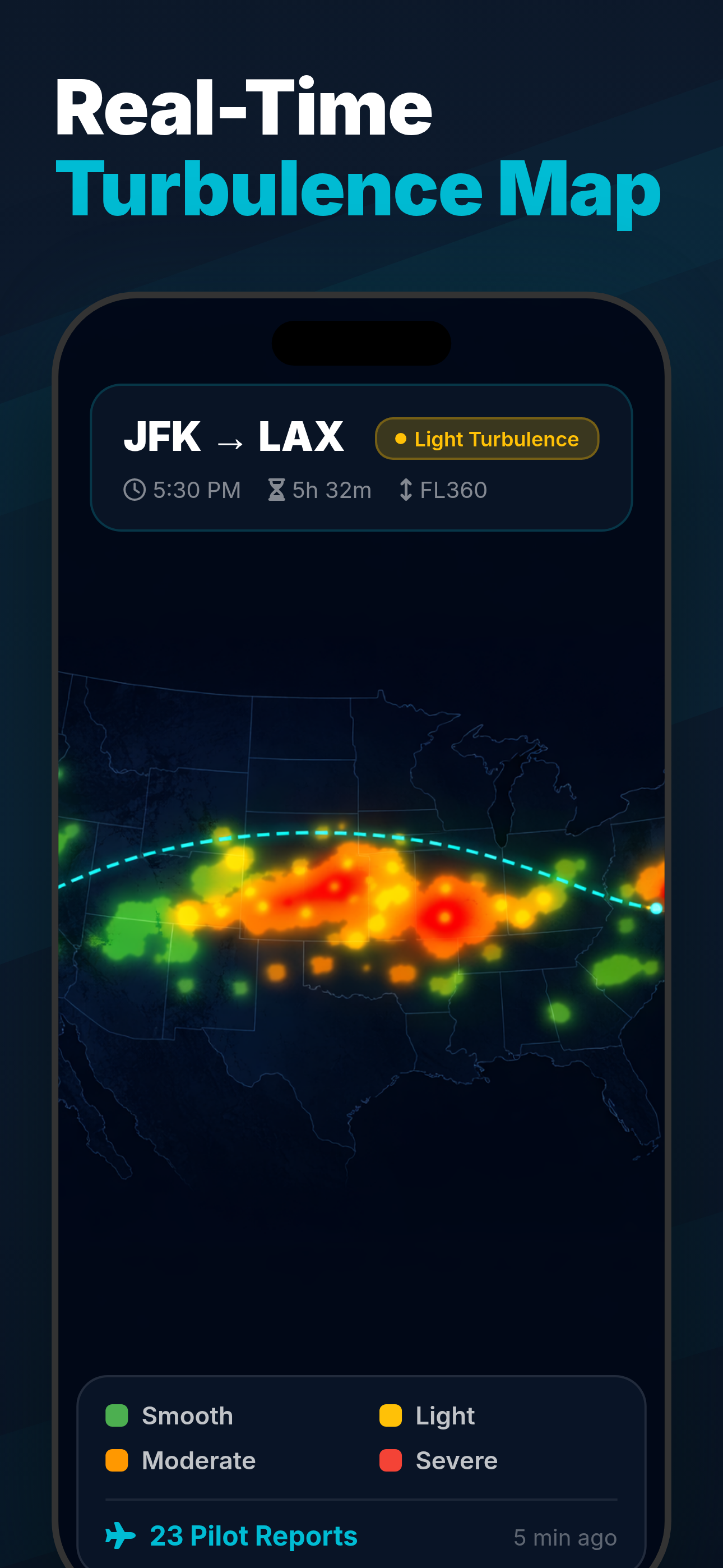
What you'll see in the app
Full forecast, live map & seat recommendations

Similar routes
Other popular routes with turbulence data
Related guides
Learn more about flight turbulence
Passenger Reports
Frequently asked questions
Data Sources
- PIREP — Pilot reports (PIREPs) submitted via FAA/ICAO systems, aggregated over 12+ months of historical data
- SIGMET / AIRMET — Significant Meteorological Information bulletins from NOAA Aviation Weather Center
- EDR data — Eddy Dissipation Rate measurements from commercial aircraft (ADS-B derived turbulence intensity)
- Seasonal patterns — 5-year rolling averages of turbulence frequency and intensity by month for this route
Scores represent typical conditions. Actual turbulence varies daily. For real-time forecasts, use the Turbulence Forecast app. · About our data